



In late May of 2024, Logan and I spent six days wandering through California's eastern deserts and Nevada's forgotten mining country. This is less a travel guide than a collection of photographs and the thoughts that came with making them.
PROLOGUE
The Eastern Sierra, Death Valley, and a handful of remote desert destinations are all within a half day’s drive, making them the perfect proving ground for my new Fujifilm GFX system. I was eager to see how it might change the way I approached landscape and environmental photography.
Finding restraint in how much gear to pack is always a challenge, especially when desert hiking is involved. I pulled out my Think Tank BackLight 26L and managed to fit the GFX100S, GF 32-64mm f/4, GF 110mm f/2, Mitakon 65mm f/1.4, and, since I didn’t yet own a telephoto lens for the Fujifilm system, my trusty Nikon D810 with a Sigma 150-600mm attached.
It just fit.
It was heavy, even before adding a water bottle and tripod.
But I knew I could leave the Nikon behind for the longer hikes, so there was that.
DAY 1 - DEPARTURE
The original plan had been to leave Sonoma County, drive south through the San Joaquin Valley to Bakersfield, then head east to Tehachapi for the night before continuing on to Death Valley. Efficient, but not exactly inspiring.
A few days before departure, I happened to see a Facebook post announcing that Sonora Pass (Highway 108) had just reopened for the season.
Bingo.
I cancelled our hotel in Tehachapi, booked a night in Mammoth Lakes instead, and suddenly the first day of our trip transformed into one of California’s most scenic drives.
That’s how we roll.
Below are a few snapshots from Donnell Lake and Sonora Pass, California’s second-highest highway pass at 9,600 feet (2,926 m).
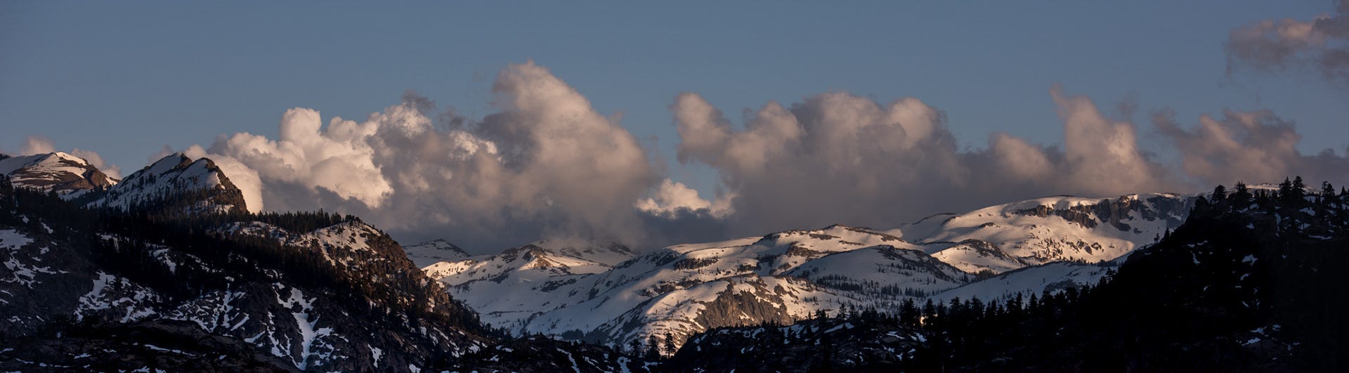


The crisp, clear mountain air and snow capped peaks were all I needed to feel as though the trip had truly begun.
Once over the pass, the alpine landscape gradually gave way to high desert, and before long we found ourselves settling into our room for the night in Mammoth Lakes.
DAY 2 - MAMMOTH LAKES TO DEATH VALLEY
I wish I could say I woke up feeling refreshed, but I really didn’t want to move that morning. Mild altitude sickness is something I’ve come to expect whenever I jump from sea level to Mammoth’s 8,000-foot elevation. There wasn’t much time to acclimate, though. Breakfast was waiting, and so was the long drive toward Death Valley. At least by late afternoon we’d be below sea level again.
Instead of simply plugging our destination into the GPS, I researched an alternate route that would take us through a few ghost towns along some wonderfully remote Nevada highways. We’d be returning to Mammoth in a few days via Highway 395, completing one large loop, and I’ve always preferred routes that keep us discovering new places rather than retracing our steps.
We headed out on Highway 6 through sleepy Benton before crossing Montgomery Pass just over the California-Nevada border, skirting the northern edge of the White Mountains. It’s the same range that’s home to the Ancient Bristlecone Pine Forest, where some of the trees are more than 5,000 years old.
Montgomery Pass enjoyed its heyday during the 1950s and ‘60s, when hotels and casinos dotted the area. Today, nearly all of them sit abandoned. It made for a perfect excuse to stretch our legs while keeping an eye out for rattlesnakes, broken glass, and rusty nails.


We continued south on Nevada Highway 264 along the eastern flank of the White Mountains, briefly crossing back into California before returning to Nevada once again. The scenery shifted between rolling sagebrush-covered hills and scattered Joshua tree outcroppings.
Hours later, after joining the busier Highway 95, we topped off the tank in Beatty before turning west toward Death Valley.
But first, one more detour.
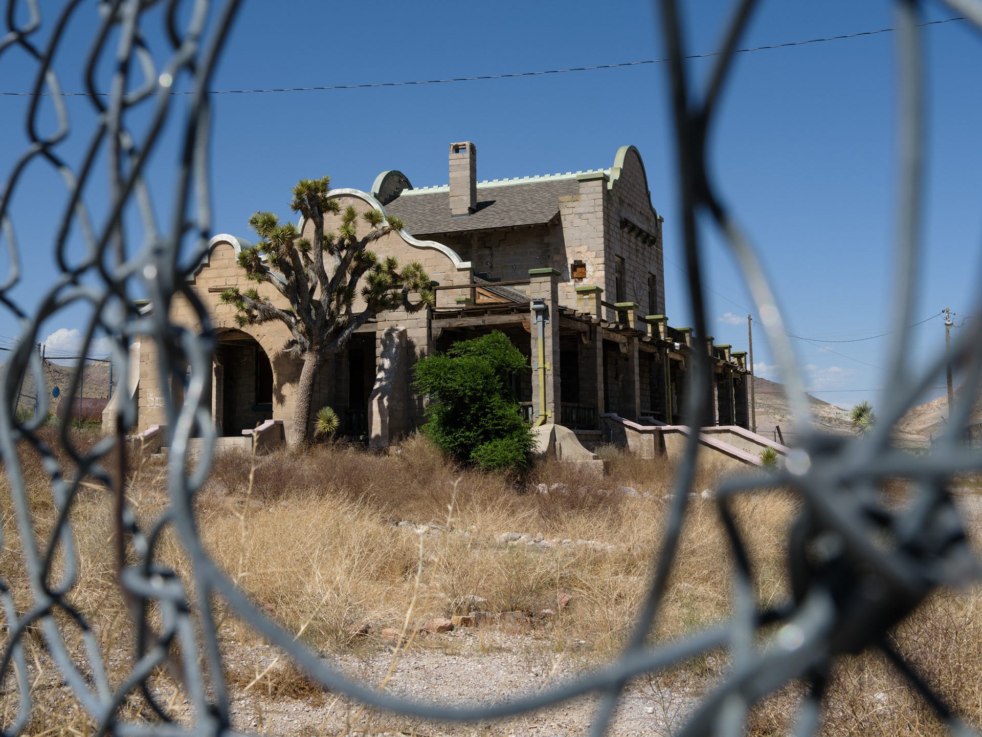
We couldn’t pass up the chance to spend half an hour wandering through the ghost town of Rhyolite. Another welcome opportunity to stretch our legs among the remnants of what had once been a thriving mining settlement.
The old train depot, pictured below, was later converted into a casino after the railroad disappeared. It’s a shame a protective fence now surrounds it to discourage vandals, but I did my best to work around it.


Death Valley
Twelve years had passed since our last visit. Much too long, considering it’s one of my favorite national parks and only about ten hours from our front door.
The drive toward Badwater feels almost otherworldly. Signs warn of desert tortoises crossing the road, and every bend reveals another impossible landscape.
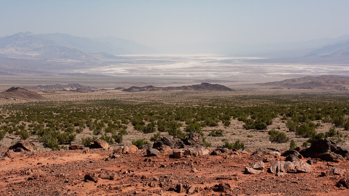
My heart sank a little as we crested the final mountain range and caught our first view into the valley. Looking south toward Badwater Basin, I was greeted by a wall of haze.
Midday haze isn’t unusual, and it doesn’t always ruin the evening, but this was...a lot of haze.
There wasn’t much I could do except adjust my expectations and see what the desert had planned for us.
We checked into our not-so-clean room at The Ranch at Death Valley. It was 106°F (41°C).
Crikey.
After a quick rest and a bite to eat, we headed up to Zabriskie Point, where we’d encounter what would become our only real crowd of tourists during the trip. It’s close to the main accommodations and easy to reach, so sunset always brings a steady stream of visitors.
Us included.
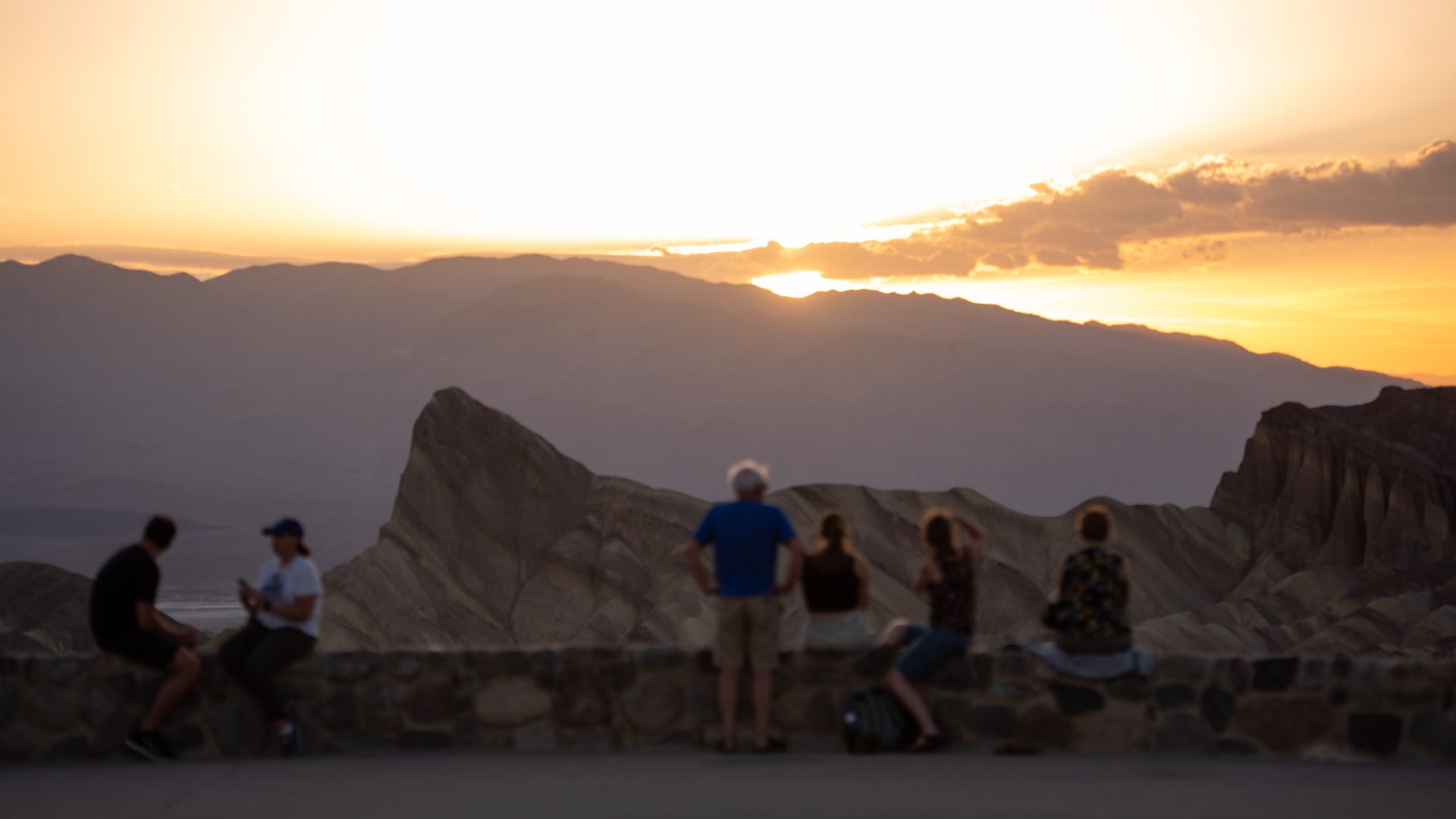


The sun had slipped behind Telescope Peak, but I had one more idea if Logan was willing to make one last push.
We stood there quietly for a moment.
Were we really up for the hour-long round-trip drive to Dante’s View after already spending the entire day on the road?
With only a short time in Death Valley, it felt like now or never.
Off we went.
I’m lucky to have such a supportive partner who’s always willing to lean into one more adventure. Left to my own devices, the comfortable hotel room probably would have won that debate
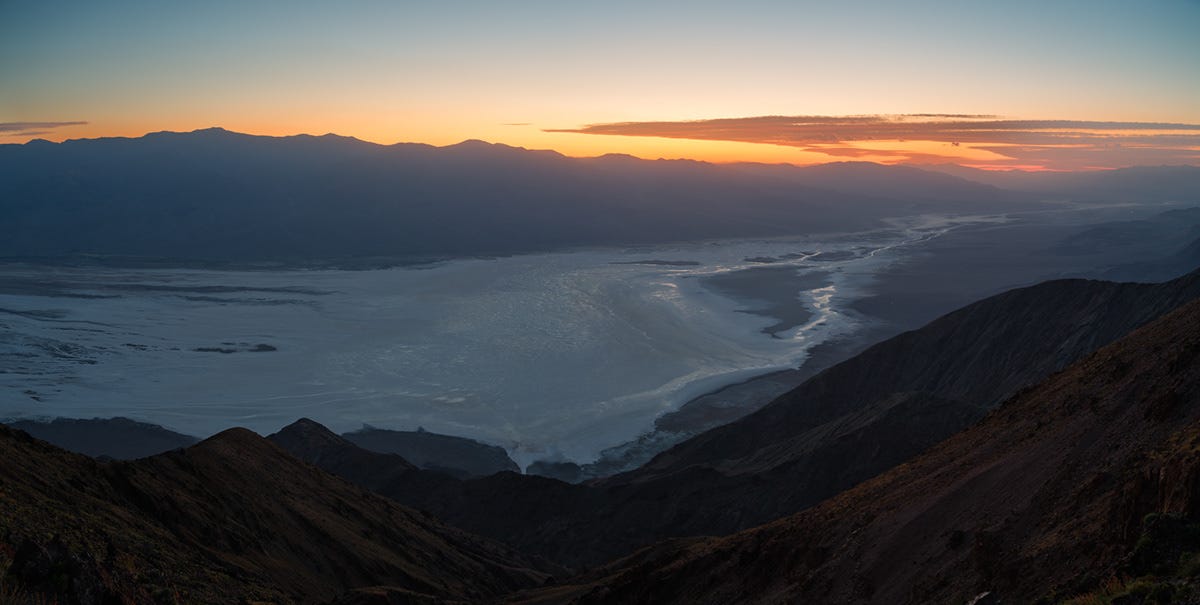
Now this was what we’d been searching for.
Temperatures had dropped into the mid-60s, the wind howled across the overlook, and nearly everyone else had already left. We passed a long line of cars heading back down the mountain, leaving the parking lot almost empty by the time we arrived.
Just the way we like it.
It would also become the norm for the rest of our time in the park.
Dante’s View sits roughly 5,800 feet above Badwater Basin, which lies 282 feet below sea level directly beneath it. It’s also a spectacular sunrise location, though that’ll have to wait for another trip.


DAY 3 - HIKING | VOLCANOS | CANYONS
PT. 1 - GOLDEN CANYON to GOWER GULCH LOOP
The wretched alarm was buzzing at 5:30 a.m., we rolled out of bed, threw on the clothes we’d laid out the night before, grabbed our packs and water, and headed for the Golden Canyon to Gower Gulch Loop. The goal was simple: finish the hike before the desert heat really settled in.
When we pulled into the trailhead, I was both surprised and delighted to find we had the place entirely to ourselves. Apparently, most people appreciate the heat a little more than we do.
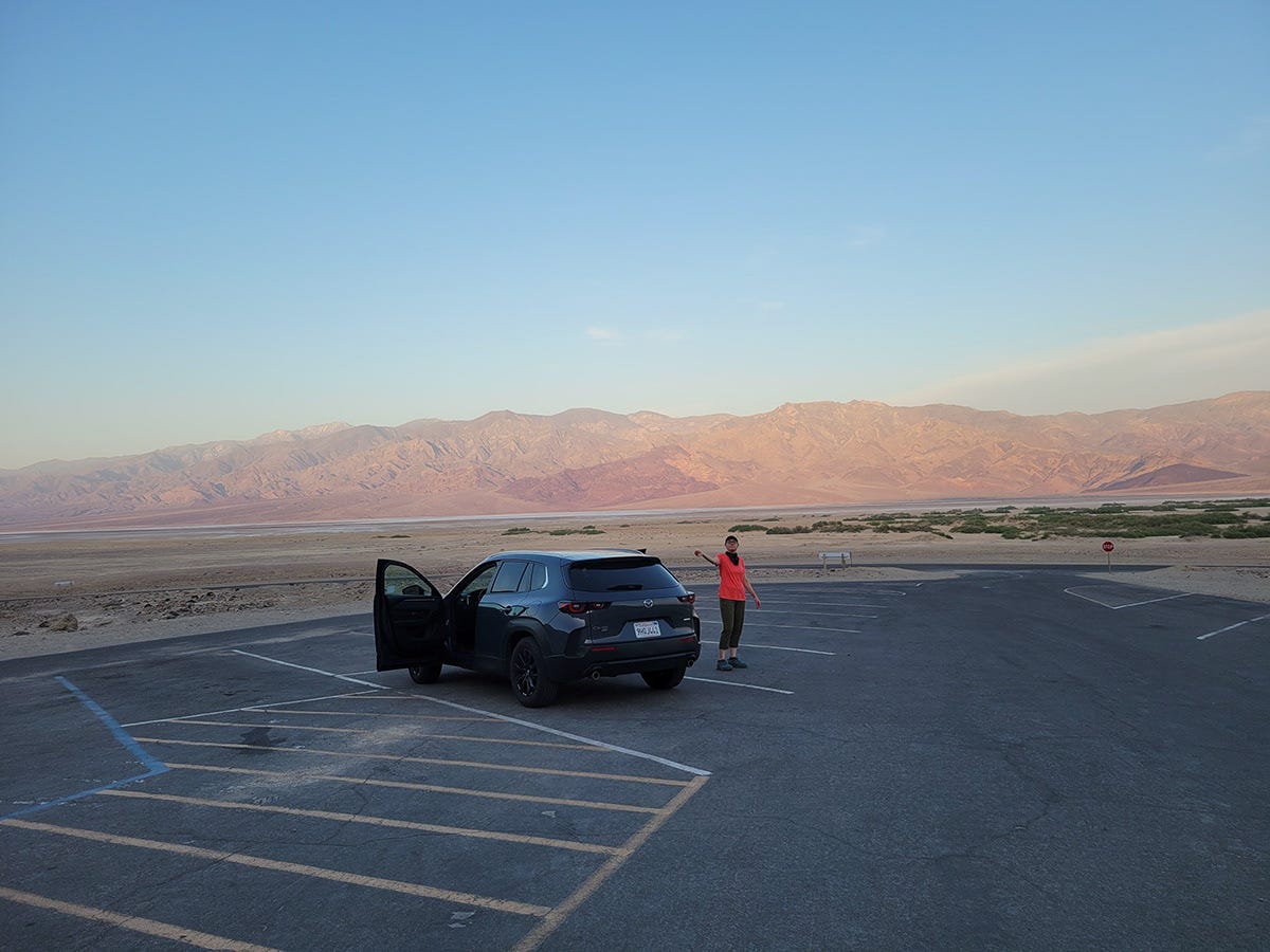
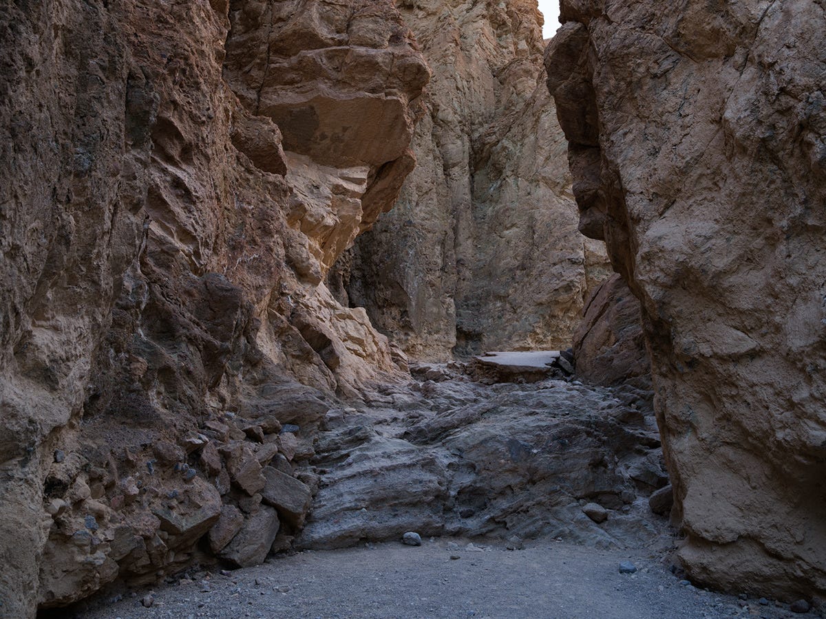
6:00 a.m., and we were on the move.
We rounded the first bend, and there it was. Golden morning light spilling across the canyon walls.
This also happened to be the backside of Zabriskie Point, and I loved the completely different perspective.
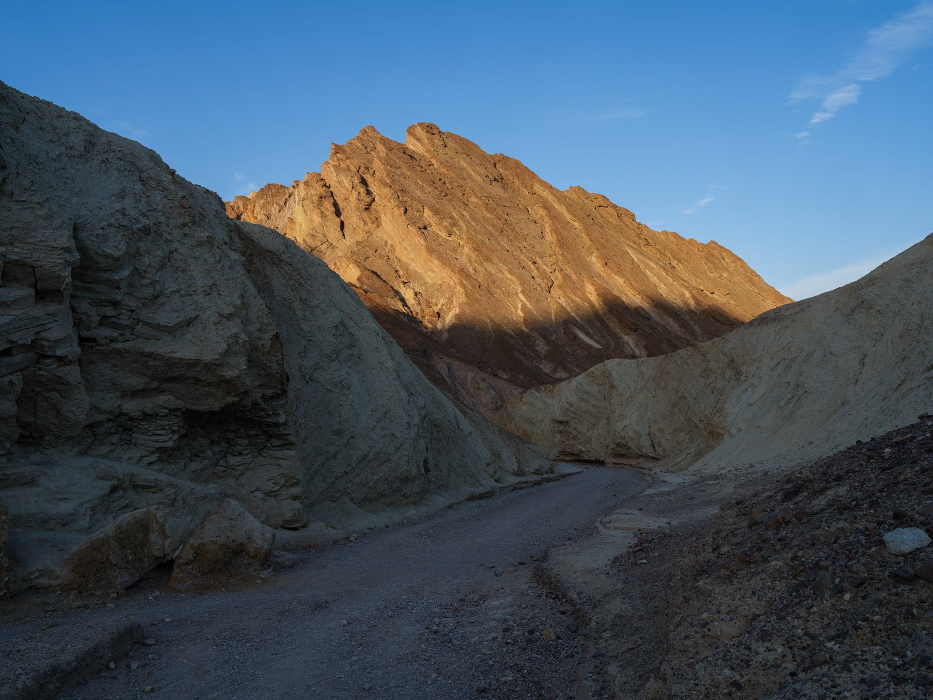


The stretch of trail above appeared in the original Star Wars, where R2-D2 rolled through the canyon while being chased by Jawas.
Neat.
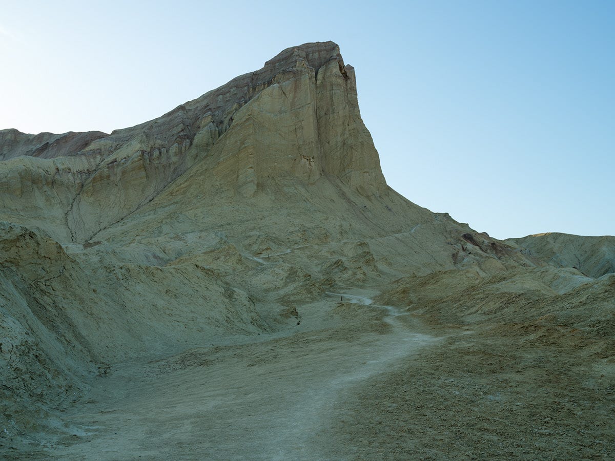
Soon we reached our first clear view of the trail climbing the face of Manly Beacon. If you enlarge the photo, you'll spot a few hikers descending toward us. They must have started from the Zabriskie Point trailhead.


Photographs never seem to convey just how steep a trail really is.
It was also warming up quickly.
Thankfully, Manly Beacon offered a bit of shade as we climbed. Looking back, the valley below glowed brighter by the minute while the surrounding peaks began catching the morning sun, becoming beacons themselves.
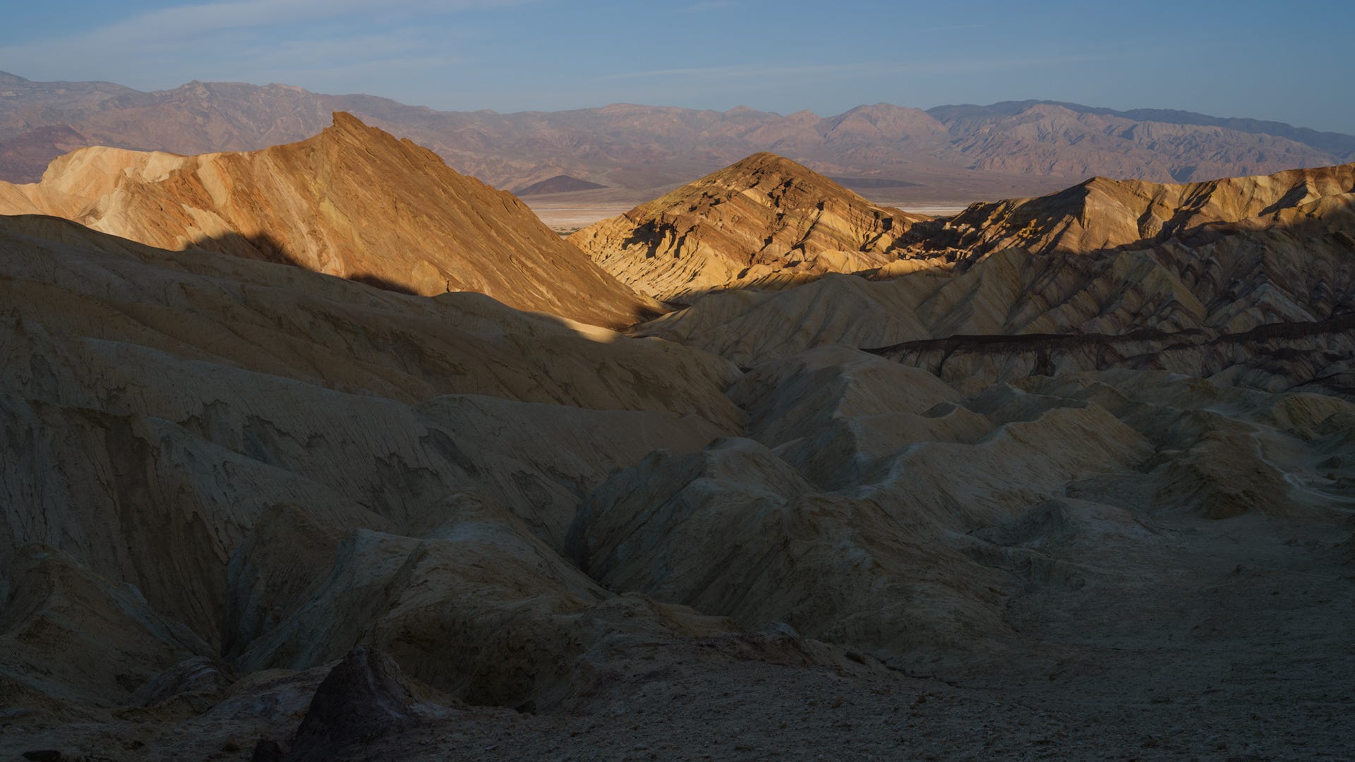


The light and shadow play on the desertscape was a delight to capture, and made this outing feel much more of a dream than a chore.
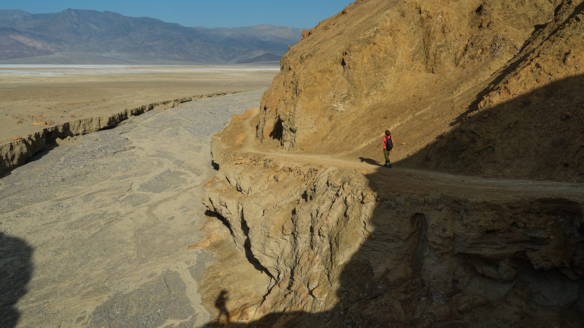
The climb was also over and now the trail descended into Gower Gulch, eventually leading us back toward the valley floor and the trailhead where we'd started a couple of hours earlier.
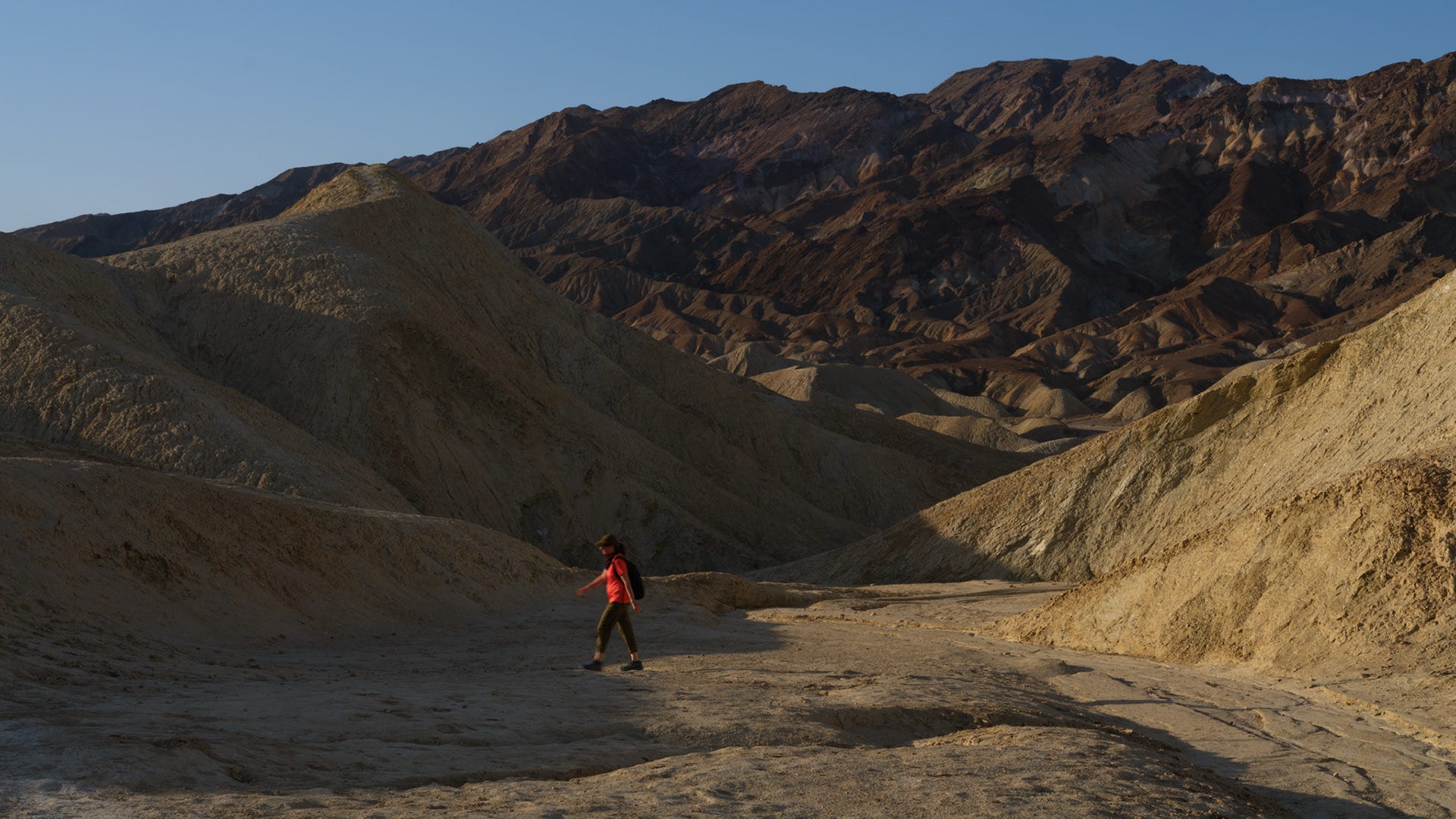


I stopped and wondered what it must have been like for the early explorers and miners who found themselves in such an inhospitable place long before the comforts and safety nets of modern life.
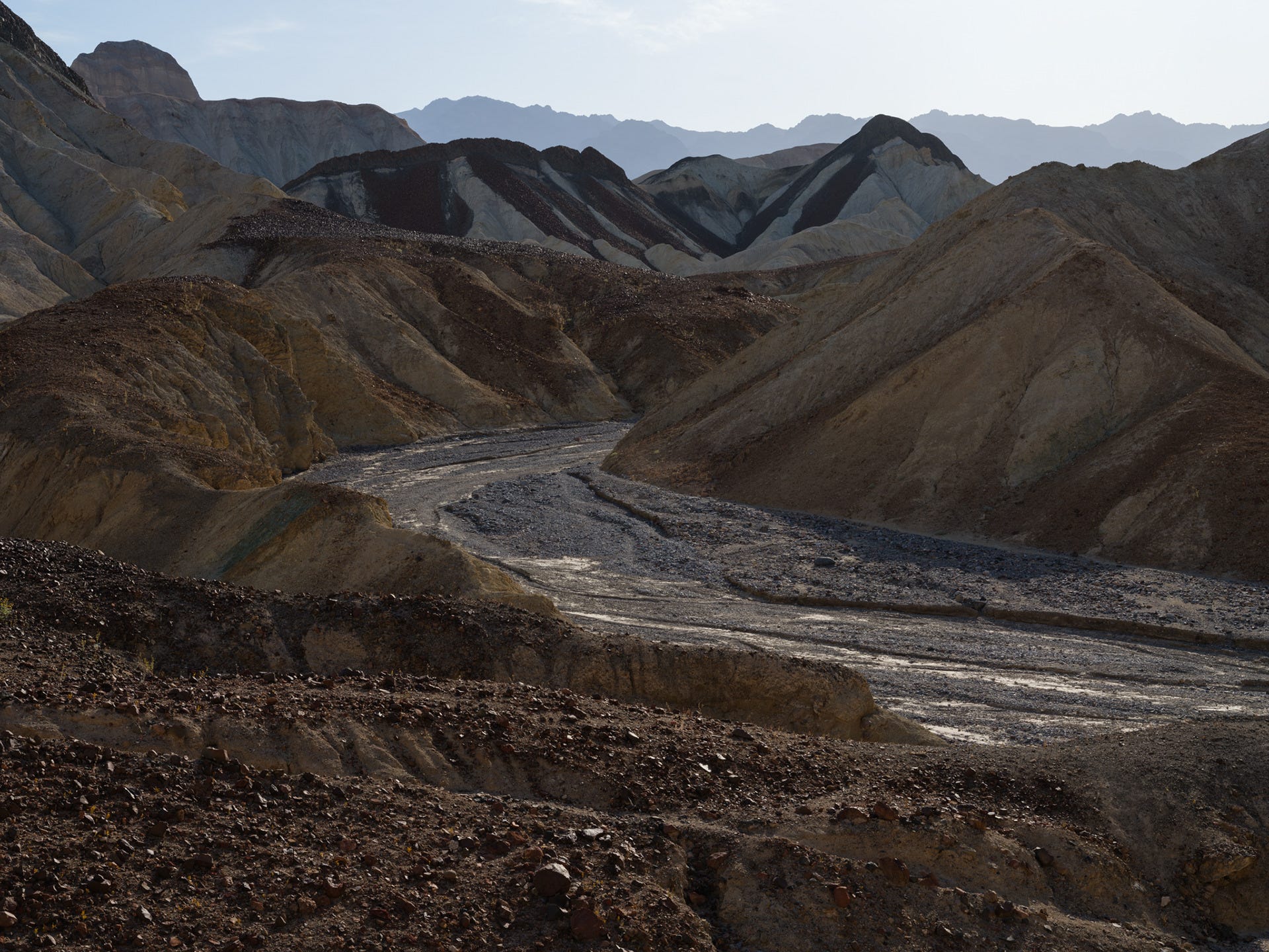
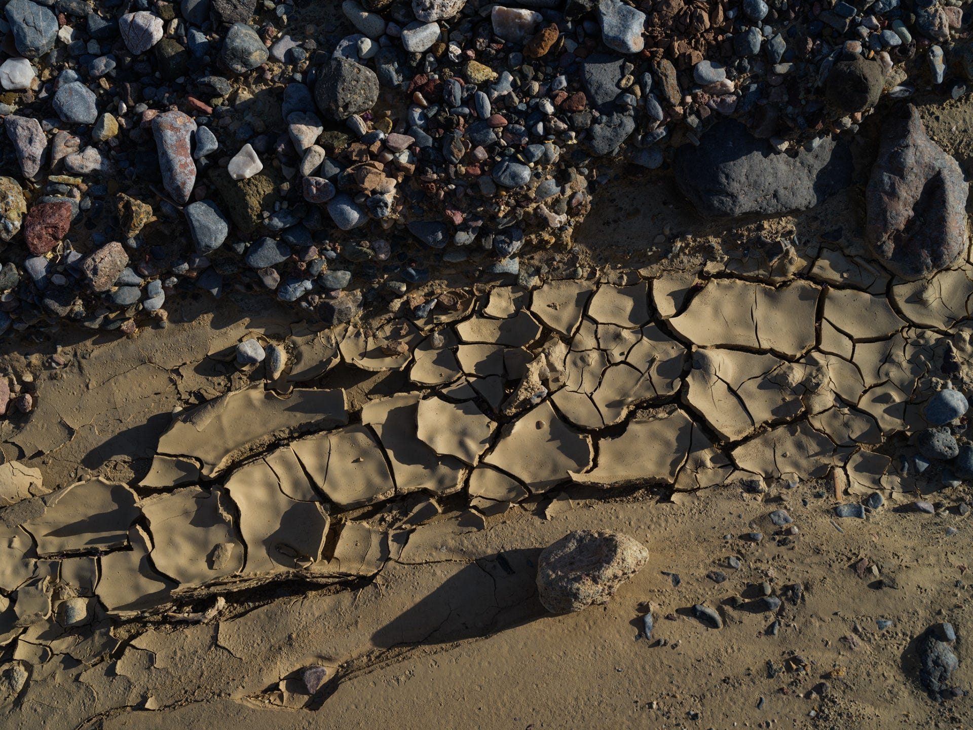


What a fantastic hike.
I’d happily do it again, although next time I’d love to start closer to sunset just to experience these landscapes under completely different light.
We continued on, and the gulch turned into a narrow canyon.
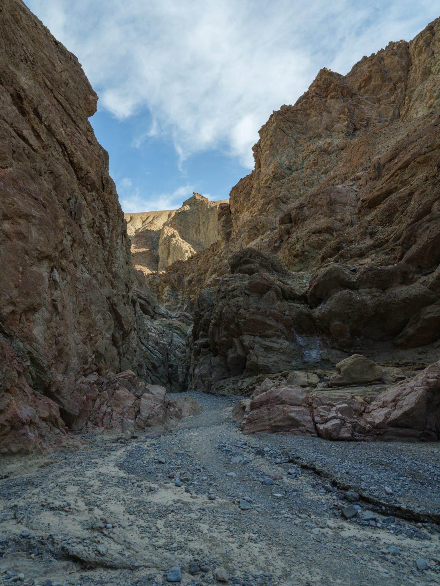


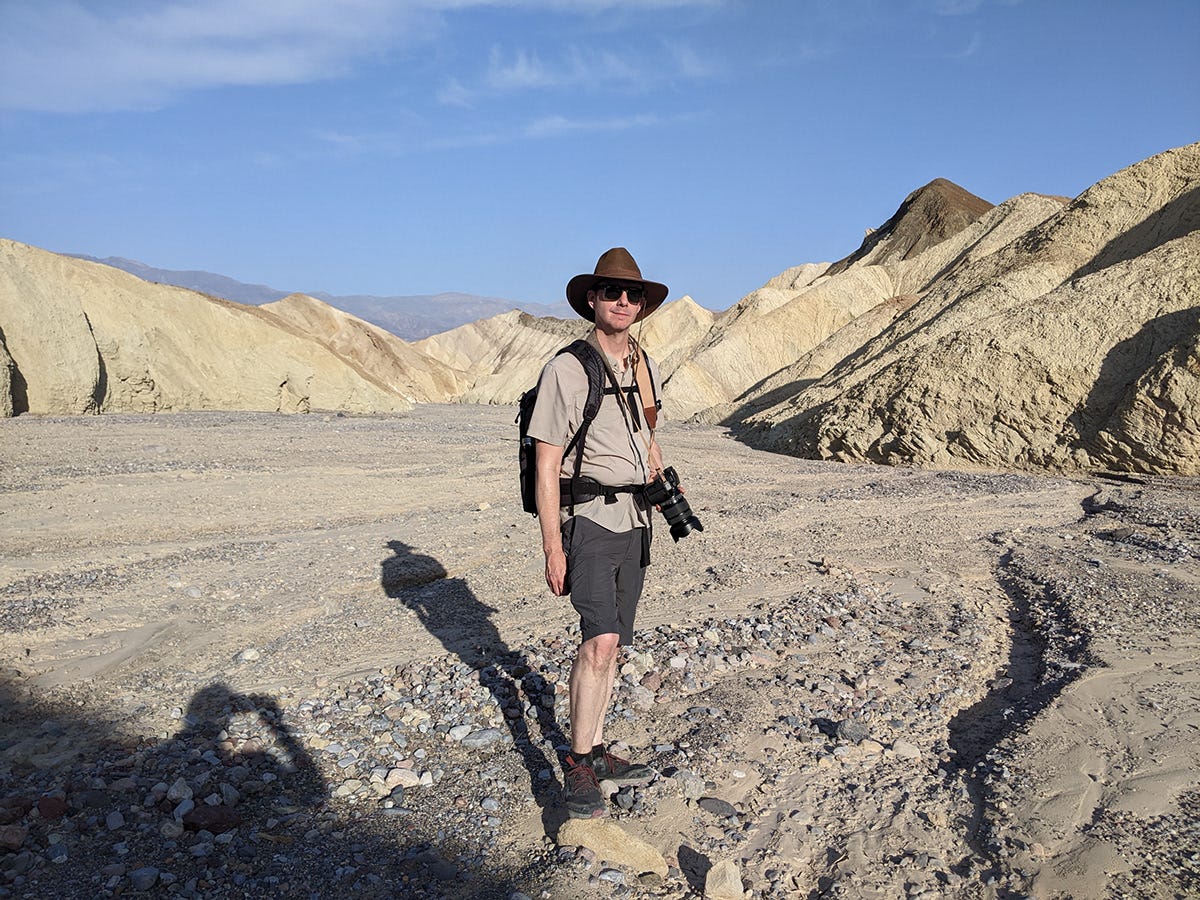
The canyon eventually opened onto the valley floor, and before long we found ourselves back where we’d started two hours and 4.1 miles earlier.
Time for showers and a hearty breakfast.
PT. 2 - UBEHEBE CRATER
Fed, showered, and ready for more, we climbed back into our rental Mazda CX-50 and headed roughly an hour north toward Ubehebe Crater.
Thanks to the 2,400-foot elevation, the temperatures were noticeably cooler.
Ubehebe was every bit as impressive as I remembered.
We decided to hike nearly the entire two-mile crater rim, along with a few surrounding features. The elevation gain isn’t especially difficult, but the loose volcanic gravel and complete lack of shade certainly keep you honest.
Two memorable hikes in the same day felt like a luxury.
Once again, we had much of the trail to ourselves. Most visitors seemed content to stop at the overlook, snap a few photos, and continue on.
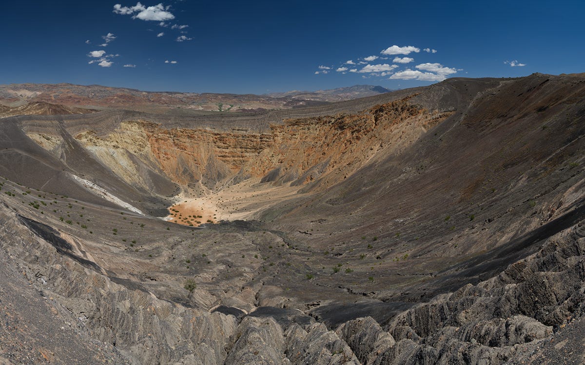
The midday light wasn't doing us any favors, and the haze had returned, but a polarizer helped cut through some of it.


A subtle breeze helped push us along.
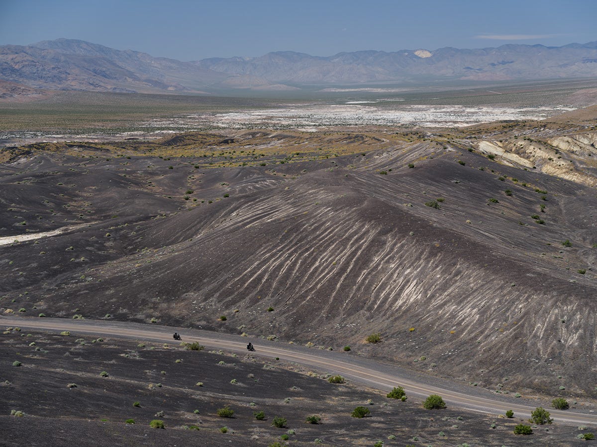


It wasn’t even 3:30 yet, and a nap sounded heavenly.
Then again...
...so did an ice cream cone.
It was far too hot to nap in the car, though, so both would have to wait. Our energy levels were fading fast, but somehow we kept convincing ourselves there was time for one more stop.
PT. 3 - TITUS CANYON
I’ve always liked the phrase, “There’s no rest for the weary,” and I found myself repeating it like a mantra that afternoon.
Just one more stop.
Titus Canyon.
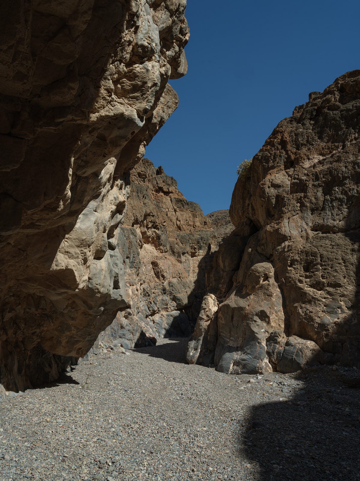
I’ll stop short of saying this stop was a mistake, but it was probably the point where we realized we’d packed a little too much into a single day.
The three-mile dirt road into the canyon was fun to drive, and despite the heat it offered yet another completely different side of Death Valley.
However by this point, Logan had reached her limit. She found a welcome patch of shade while I wandered another ten minutes into the canyon before deciding it was time to call it.
After some of my own soul searching, I decided that ice cream was sounding better than another composition.
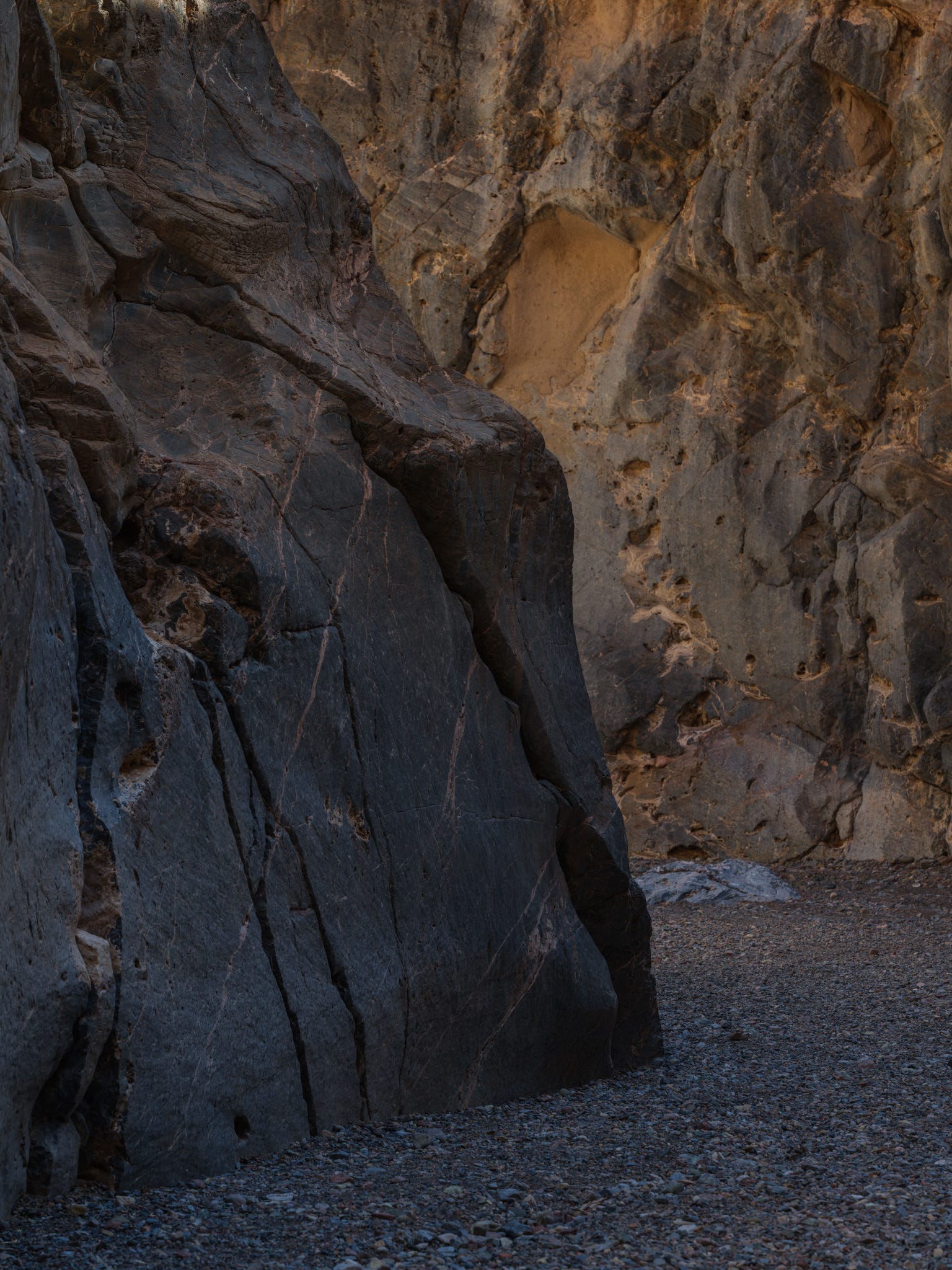


Cooled down, sugared up, and feeling human again, we decided there was only one thing left to do.
One last sunset drive.
We pointed the car back toward Badwater Basin and made our way onto Artist Drive.
PT. 4 - ARTIST DRIVE
We were greeted by blissfully cooler temperatures, a gentle breeze, a rising moon, and far fewer tourists than expected, likely thanks to it being a Monday evening.
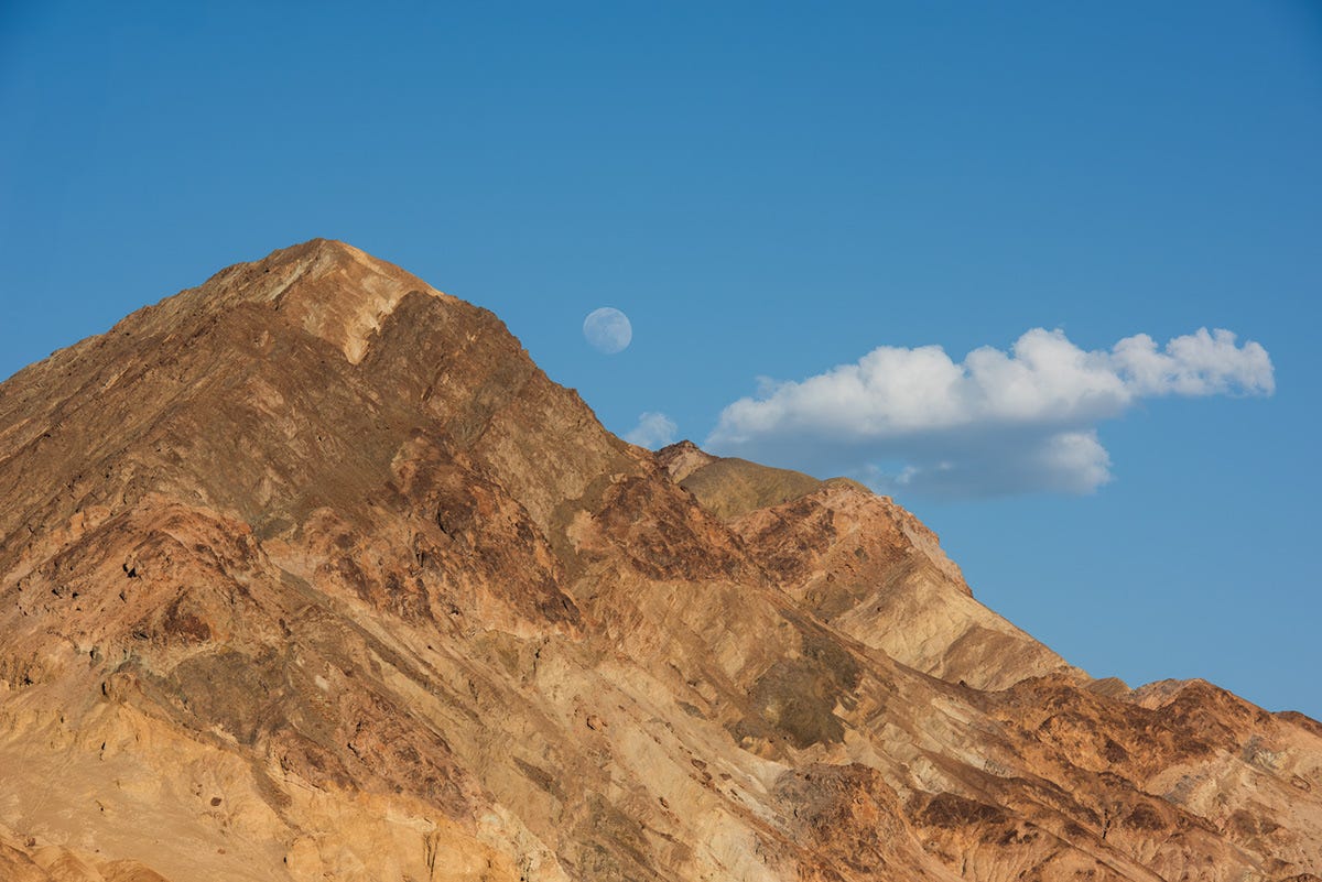


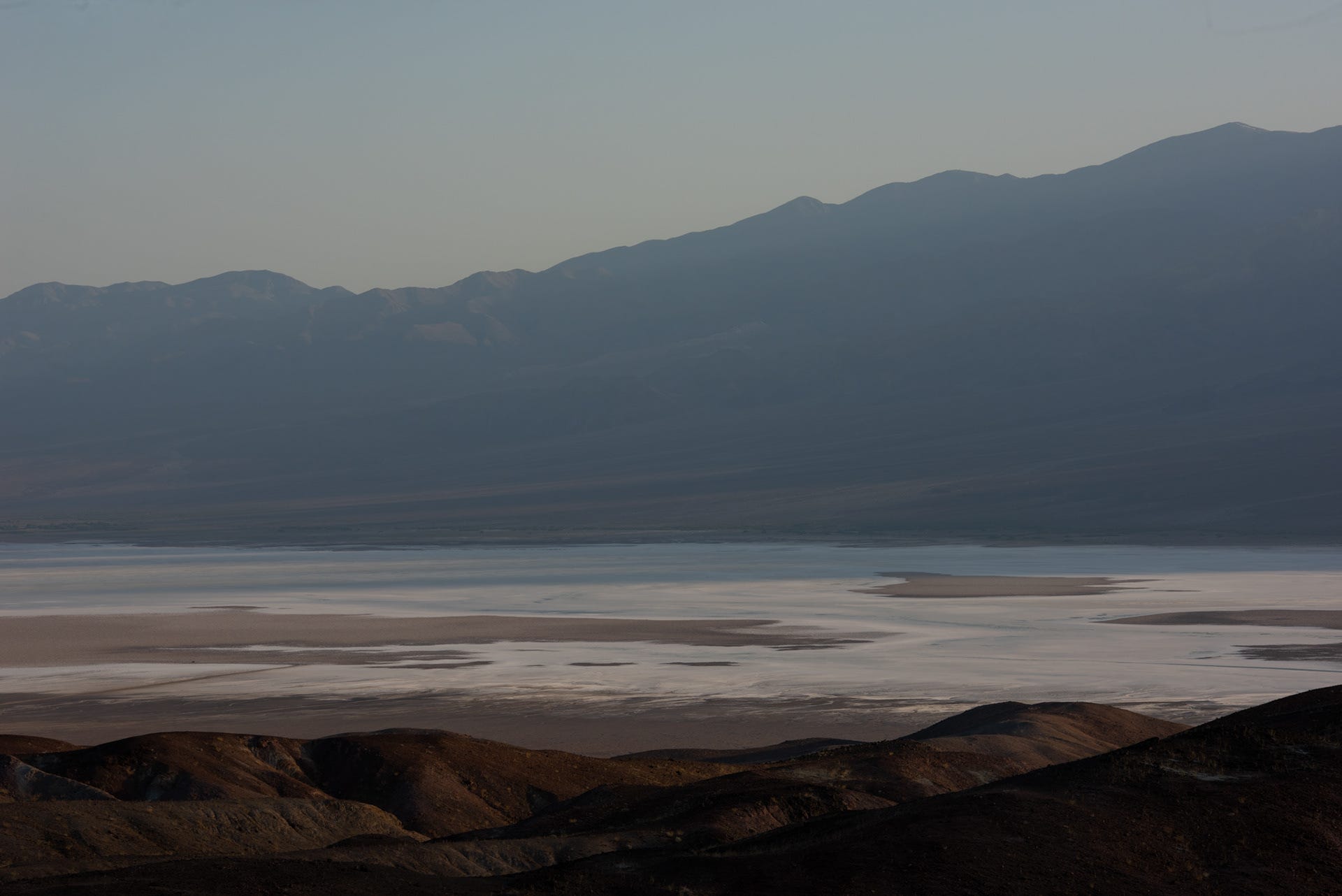


Our day started pre-dawn, and fatigue was expected and unavoidable. We lacked the oomph to explore much beyond the road itself.
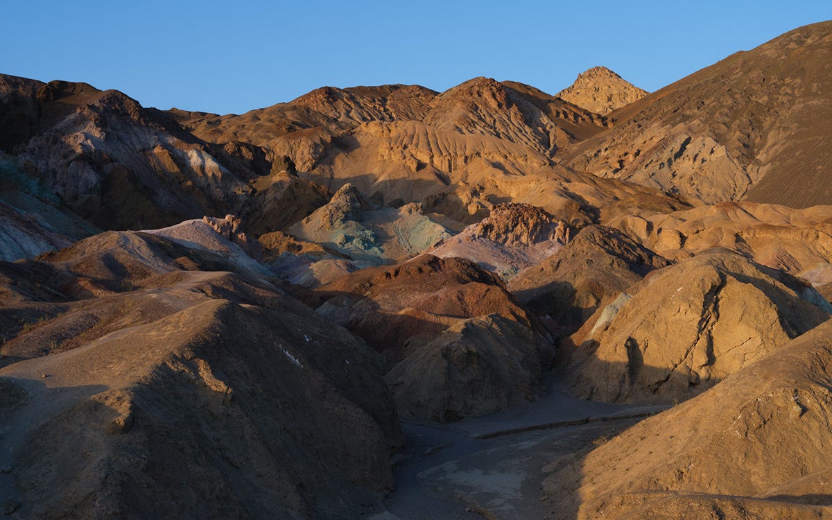
A modest crowd had gathered at the Artist Palette overlook, which meant it was time to initiate Operation: Stay Away, with waypoint BedPointZero serving as our final destination of the day.
Tomorrow we’d leave Death Valley and make our way back to Mammoth Lakes.
DAY 4: DEATH VALLEY TO MAMMOTH LAKES
After the pace of the previous three days, we welcomed a more relaxed travel day.
One of our favorite YouTube channels is Ghost Town Living, where Brant Underwood and his business partner have been restoring the historic Cerro Gordo mining town, high above Owens Valley. Their long-term goal is to reopen the old American Hotel, and we’ve been following the project for years.
Needless to say, we got a little excited when the road leading up to Cerro Gordo finally came into view.
We’ll be back.


The climb from nearly 100 feet below sea level back to Mammoth’s 8,000-foot elevation hit me even harder than it had a few days earlier.
Rather than push through it, we settled into our Airbnb, enjoyed a good dinner, drank far more water than we thought possible, and called it an early night.
Sometimes the smartest pivot is simply knowing when to rest.
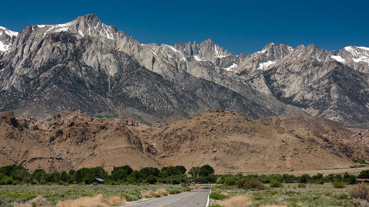
DAY 5: HOT CREEK | BODIE | VIRGINA LAKES | MONO LAKE
Another early alarm.
This one was set for 5:10 a.m. so we could catch first light at Hot Creek Geological Site.
PT. 1 - HOT CREEK
I’ve learned that when an alarm goes off before sunrise, hesitation is dangerous.
Every extra minute I lie there questioning my life choices makes it exponentially more likely that I’ll roll back over and convince myself the photographs can wait until tomorrow.
After all...
...it’s only photography.
Right?
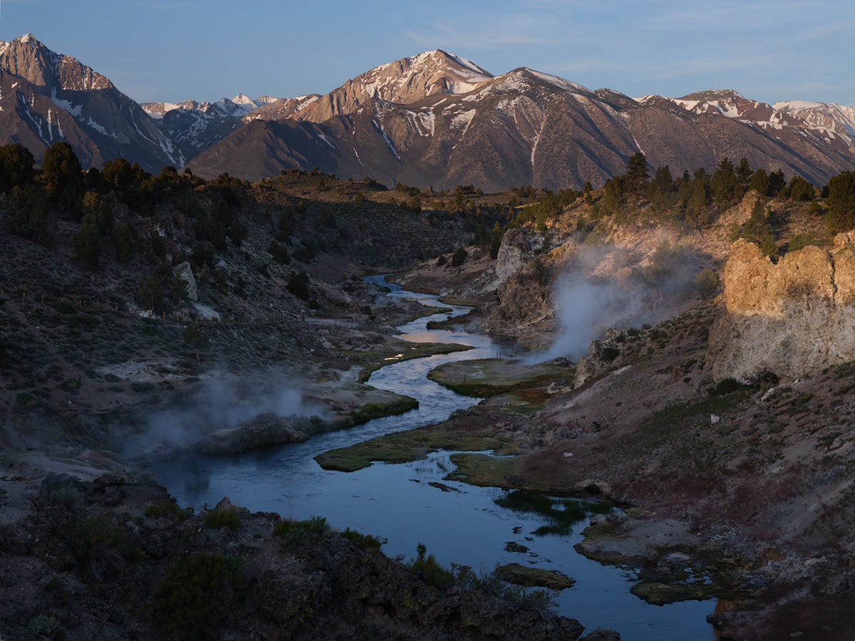
Truthfully, if I could have snapped my fingers, I would have changed almost everything about the conditions.
A little more snow on the peaks.
Some actual clouds.
Maybe even a touch of autumn color.
Still, despite none of those things showing up, we had a wonderful morning bundled together in 26°F (-3°C) air while steam drifted across the creek.
This definitely wasn’t Death Valley anymore.


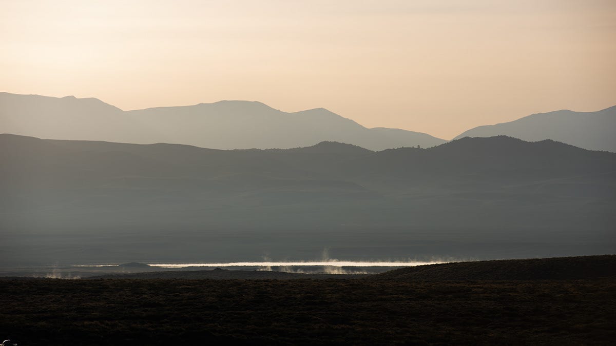


Afterward, we stopped at the market to stock up on supplies for the remainder of the trip before heading back to the Airbnb for breakfast and that nap.
PT. 2 - BODIE
My parents’ idea of a family vacation usually involved loading my brother and me into the back of our old 1960s Ford pickup, pointing it toward the mountains or desert, and staying put for the better part of a week.
Every once in a while we’d venture out on day trips, and I vaguely remember one of them being to Bodie. I couldn’t tell you exactly when, but I know I was younger than ten because the memories are little more than fragments.
I’ve returned several times since then with both family and friends, but Bodie never seems to lose its ability to transport me somewhere else.
Being late May, the park closed at 4:00 p.m., which ruled out any chance of photographing it in golden light.
No clouds.
Very little snow remaining.
The conditions weren’t exactly inspiring, but honestly, that sometimes frees me to experiment.
I mounted a 10-stop ND filter, added a polarizer, and paired them with my wonderfully quirky manual-focus Mitakon 65mm f/1.4.
Let’s see what happens.
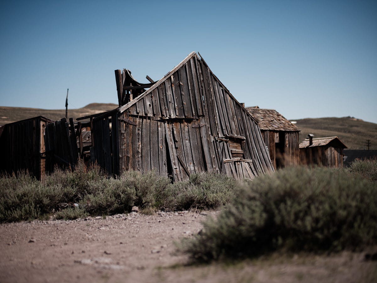


The heavy ND filter enabled me shoot wide open in bright daylight while also stretching shutter speeds into several seconds. The GFX100S is limited to 1/4000th of a second.
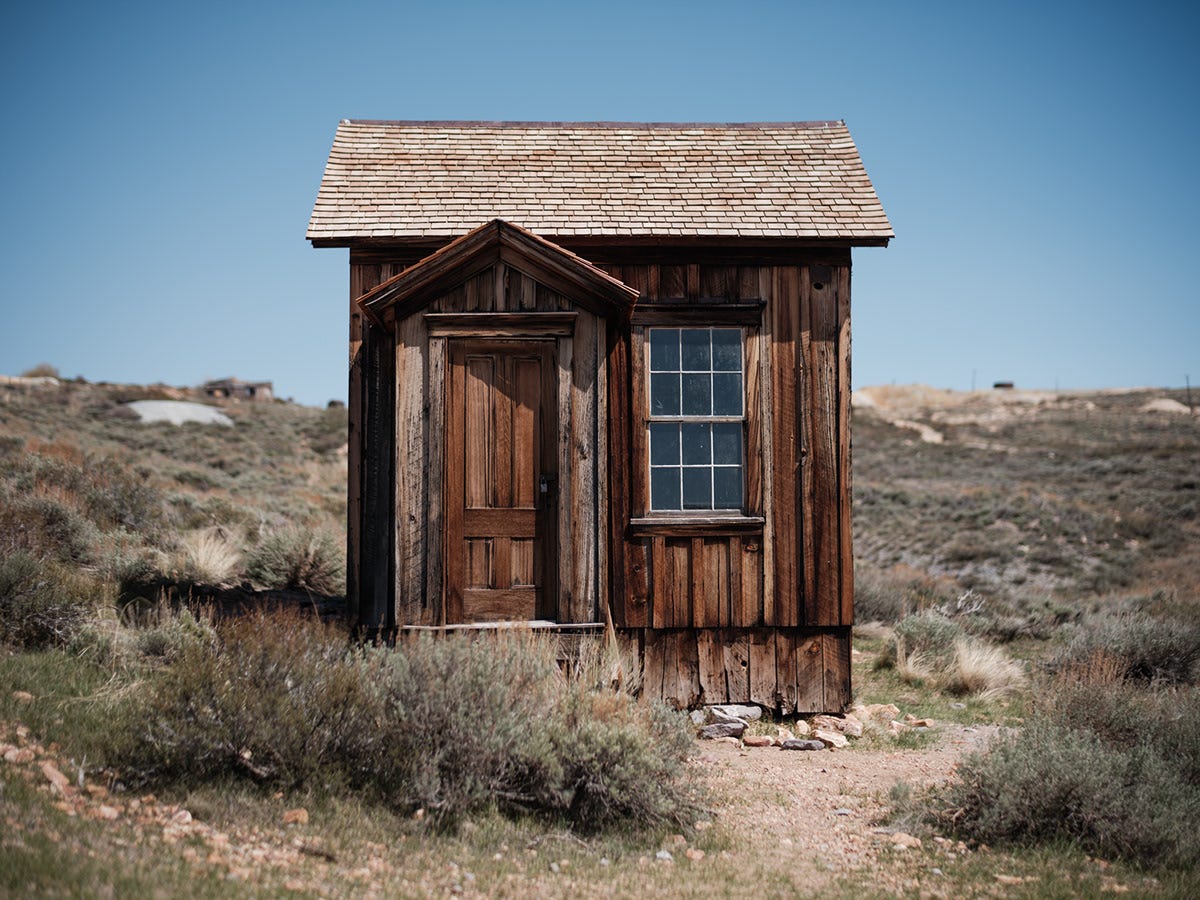
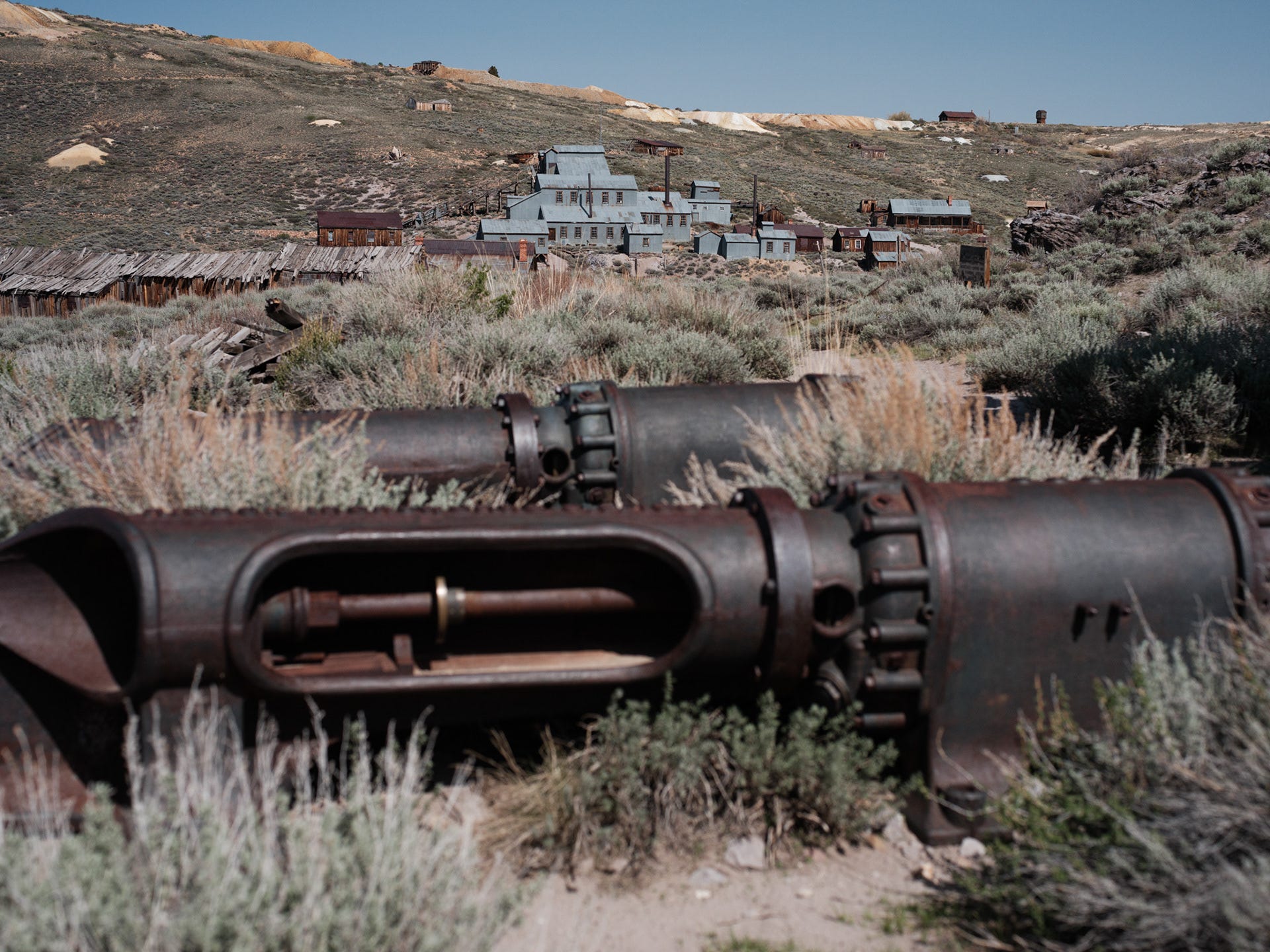


Considering the rather boring conditions, I still came away happy with the results. It’s Bodie, so you’d better be having fun. This was one of those instances though where experimenting with gear did add icing to the cake.
PT 3. - VIRGINIA LAKES
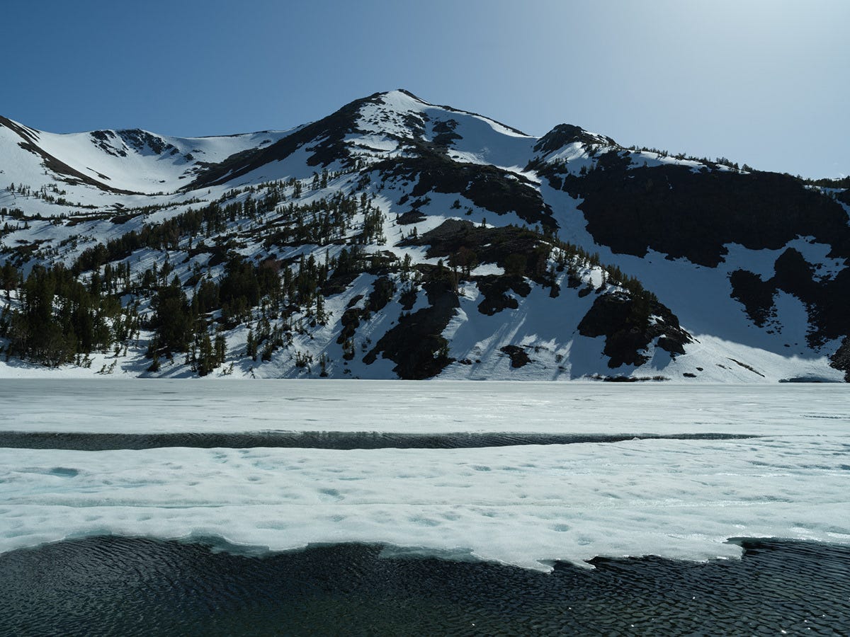
It looked as though the road to Virginia Lakes had only recently been cleared of snow. The lake was still half frozen, and a bitter wind spilled down from the high peaks.
Then a bald eagle drifted overhead.
We stood there for a while, taking it all in.


PT. 4 - MONO LAKE
One challenge I’ve always had with photographing Mono Lake in the evening is that the Sierra rises immediately to the west, blocking the sun before the light really has a chance to come alive. If you’re patient, twilight can still be spectacular, so it’s worth sticking around.
If you have the choice, though, come for sunrise.
To better understand how I approach photographing Mono Lake, especially the tufa formations, think back to what I wrote earlier about Zabriskie Point.
It’s been photographed countless times, often under better conditions than you’re ever likely to experience yourself. Don’t fall into the trap of believing you need to create the definitive photograph.
Come anyway.
In person, Mono Lake is a wanderer’s playground. It’s wonderfully strange, endlessly fascinating, and rewards curiosity far more than careful planning. Pick a point on the horizon and simply start walking. You’ll discover all sorts of unexpected compositions along the way.
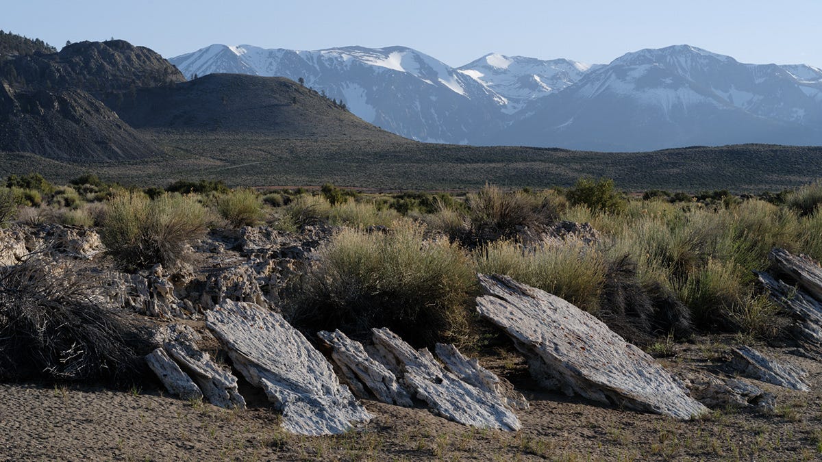
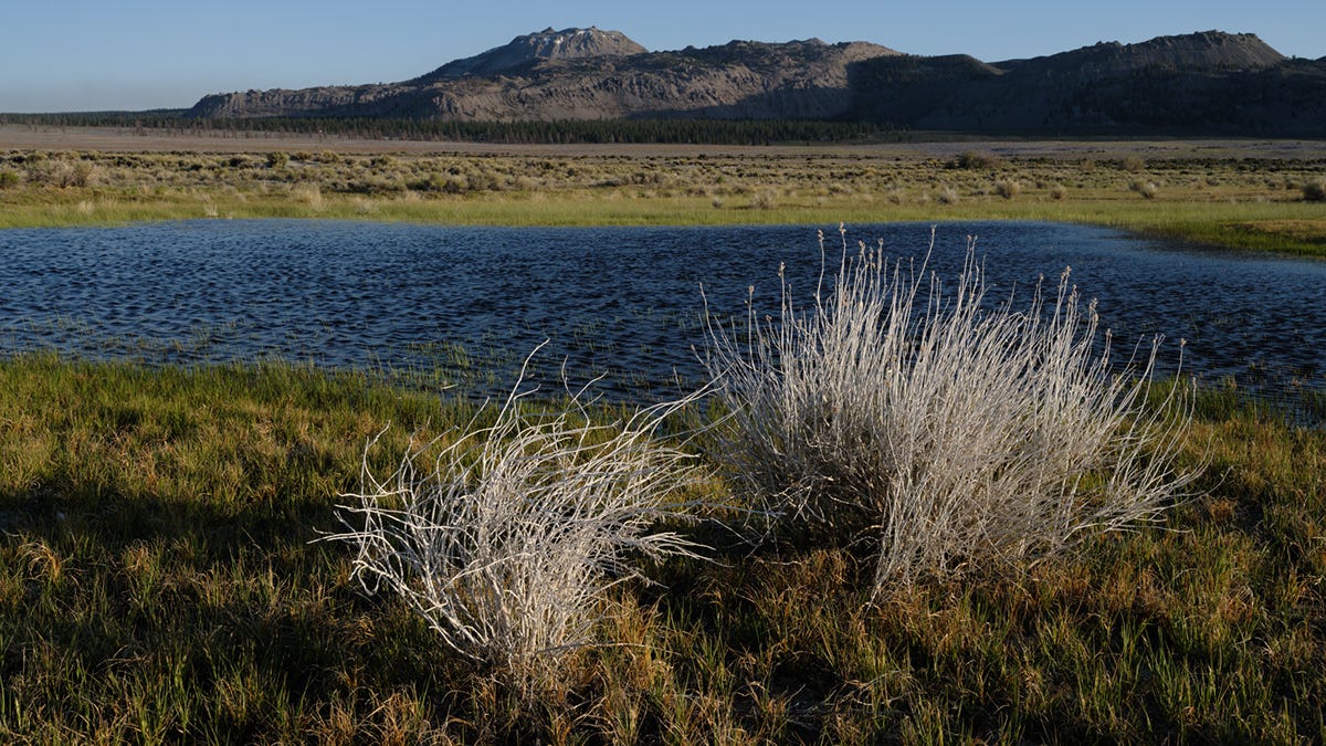
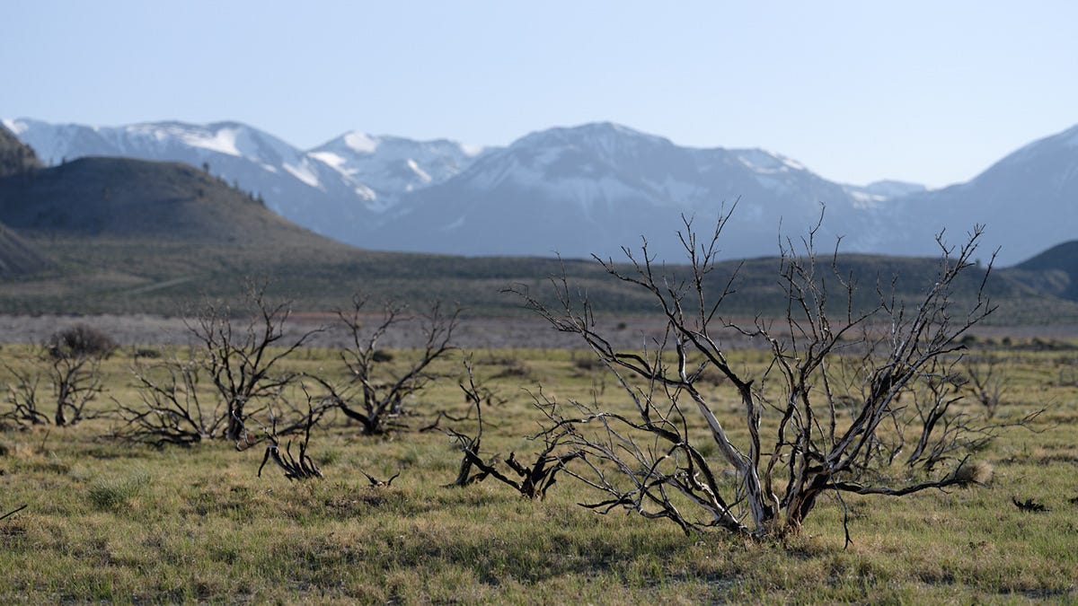
As before, avoiding the busiest viewpoints was key to keeping our spirits high. We parked east of Navy Beach, cooked dinner in the wind, then spotted a cluster of tufa in the distance and started walking.
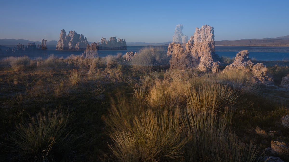
The lake was whipped into whitecaps, so I reached for the ND filter and experimented with a few long exposures.
Then something unexpected happened.
Logan wandered into one of the frames by accident.
Instinctively, I nudged (tripped over) the tripod during the exposure instead of stopping it, and ended up creating one of my favorite photographs from the trip completely by mistake.
I’ll take happy accidents whenever I can get them.


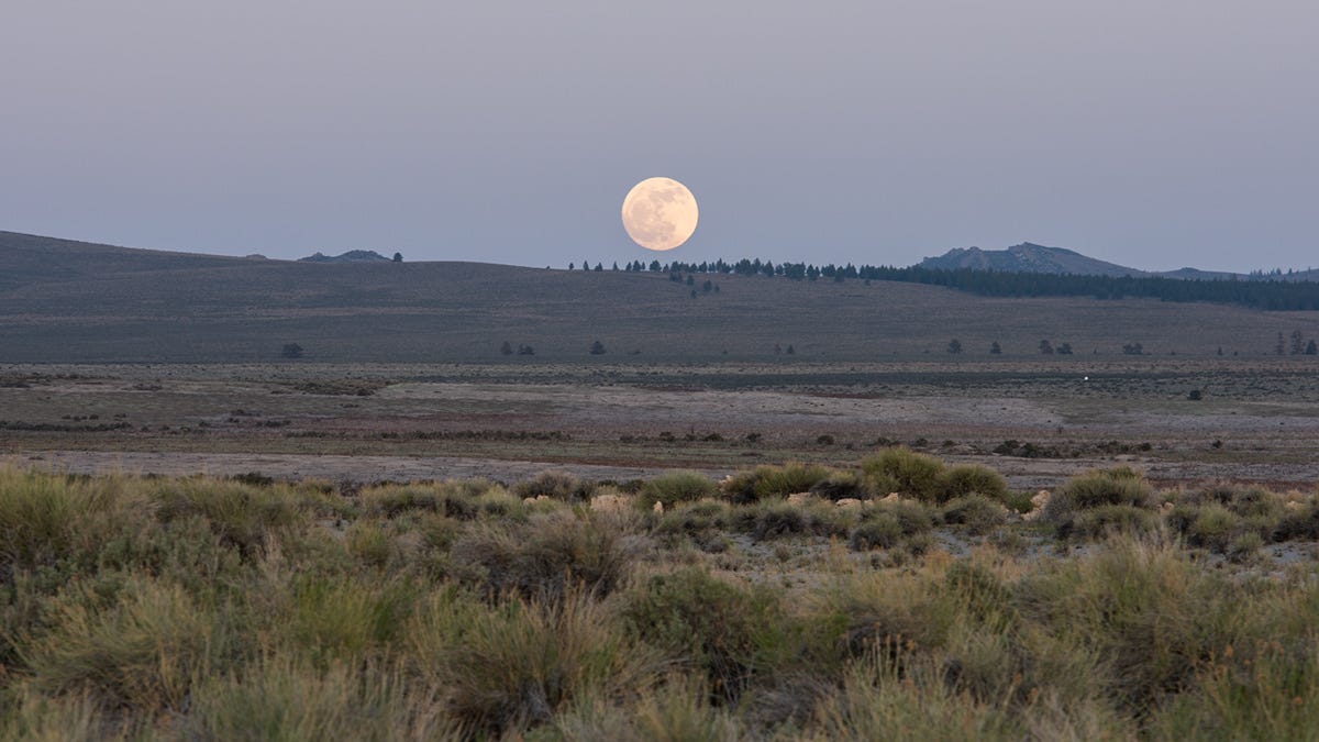
As we made our way back to the car, a full moon climbed above the desert hills, giving the entire walk an almost dreamlike atmosphere.
It also gave me the perfect excuse to dust off the heavyweight Sigma telephoto one last time.
As much as I love the old Nikon D810, the colors feel noticeably more subdued next to the Fujifilm GFX files and require a bit more massaging in Lightroom to get similar results.


DAY 6 - MAMMOTH LAKES TO BERLIN NEVADA
Our last destination took us back to another wonderfully odd place my family used to camp when I was a kid.
Picture two brothers packed into the back of an old pickup beneath a hot camper shell for hours at a time.
It wasn’t always paradise.
Still, I have to give my dad credit. He had an incredible knack for finding remote places, and Berlin-Ichthyosaur State Park remains near the top of that list.
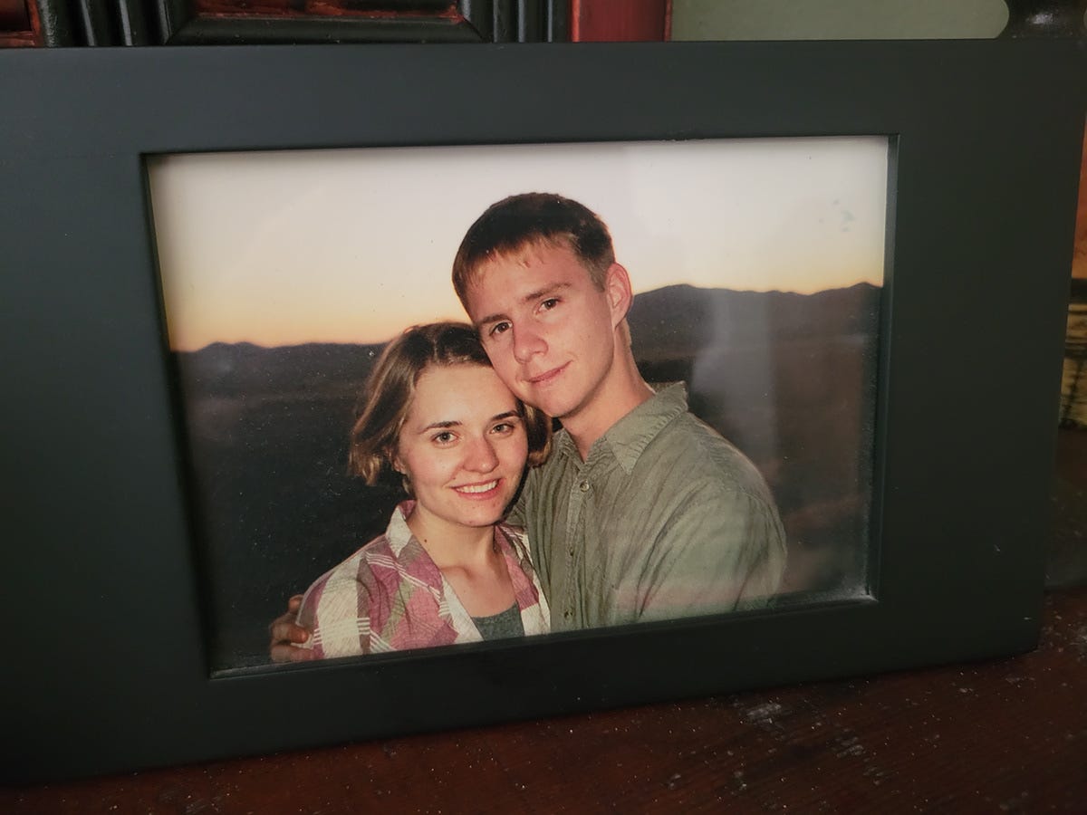
Logan had been here once before, more than twenty-five years earlier, when we camped with a group of close friends.
Neither of us knew where life would eventually lead, but it’s fun looking back and realizing we were quietly building the foundation for something much bigger.
Nevada has done a wonderful job preserving this park.
The roads are excellent, the campground is immaculate, the rangers are welcoming, and there’s a surprising amount of infrastructure considering just how remote it is.
If you enjoy the desert, put this place on your list.
It’s only about six and a half hours from the San Francisco Bay Area, making it an easy day’s drive. There’s enough to fill a couple of days between the ghost town, fossil house, hiking trails, dark skies, and a handful of nearby attractions.
But the real attraction isn’t any one destination.
It’s the remoteness.
That’s the magic.
We arrived around midday, set up camp, and headed straight out on the park’s two-mile hiking trail, which conveniently begins right in the campground.
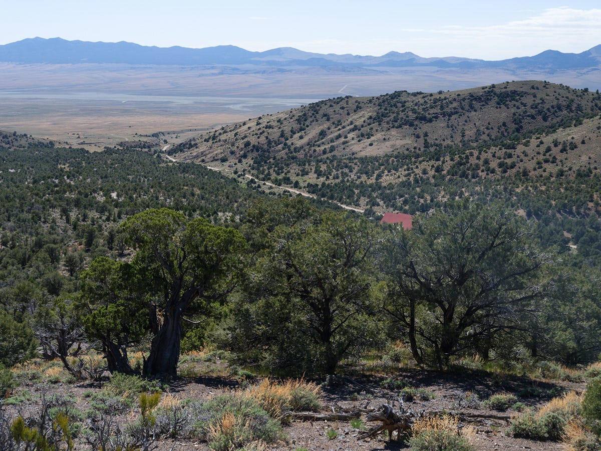


Millions of years ago, ichthyosaurs swam through the ancient inland sea that once covered this region. Today, the park protects an incredible collection of their fossilized skeletons beneath a specially constructed building.


Dinner disappeared quickly, and while packing up my camera gear we struck up a conversation with a couple camping nearby who had once lived in Sonoma County.
As golden hour approached, we wandered down into the old mining camp.
Clouds had finally arrived.
Nature had saved one last light show for the end of the trip.
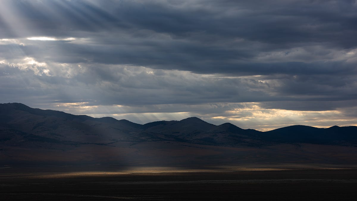
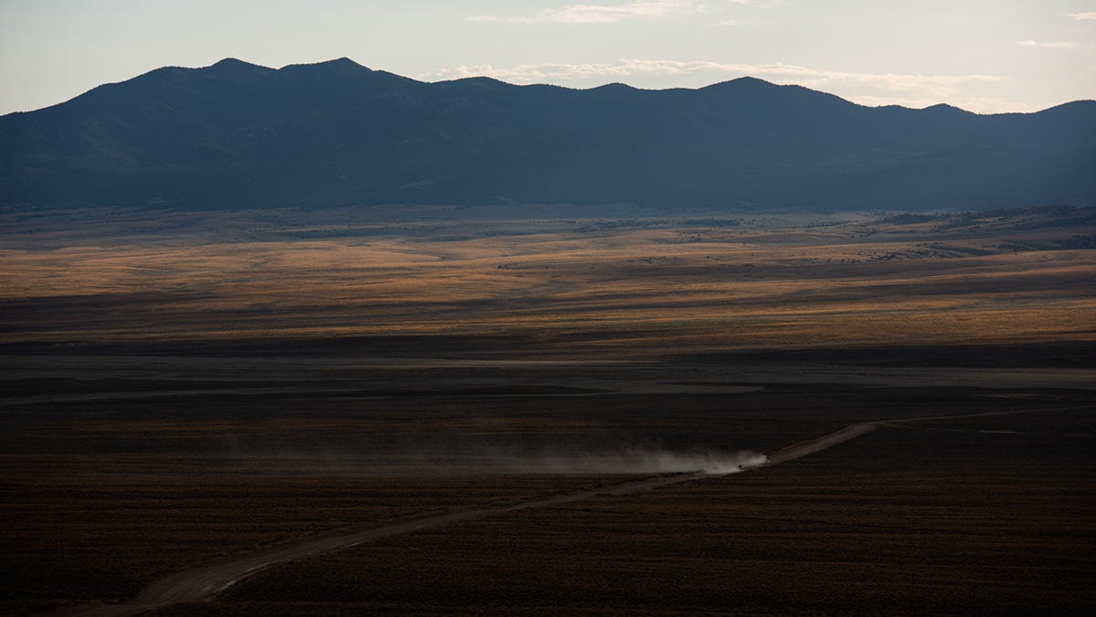
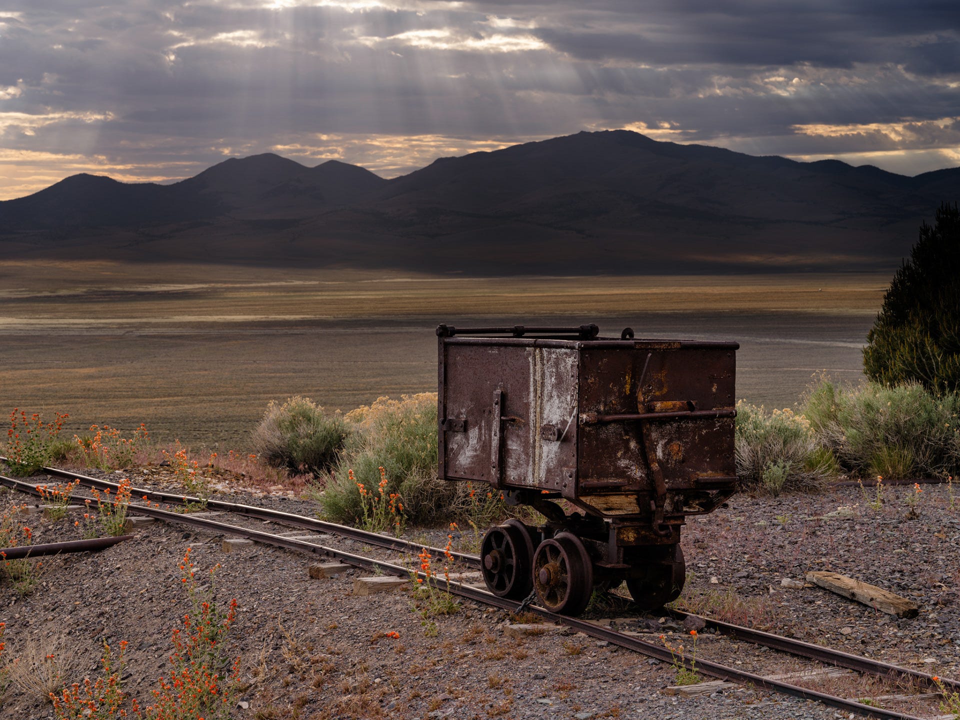


We took a few minutes to explore the petite but interesting mine site at the park.
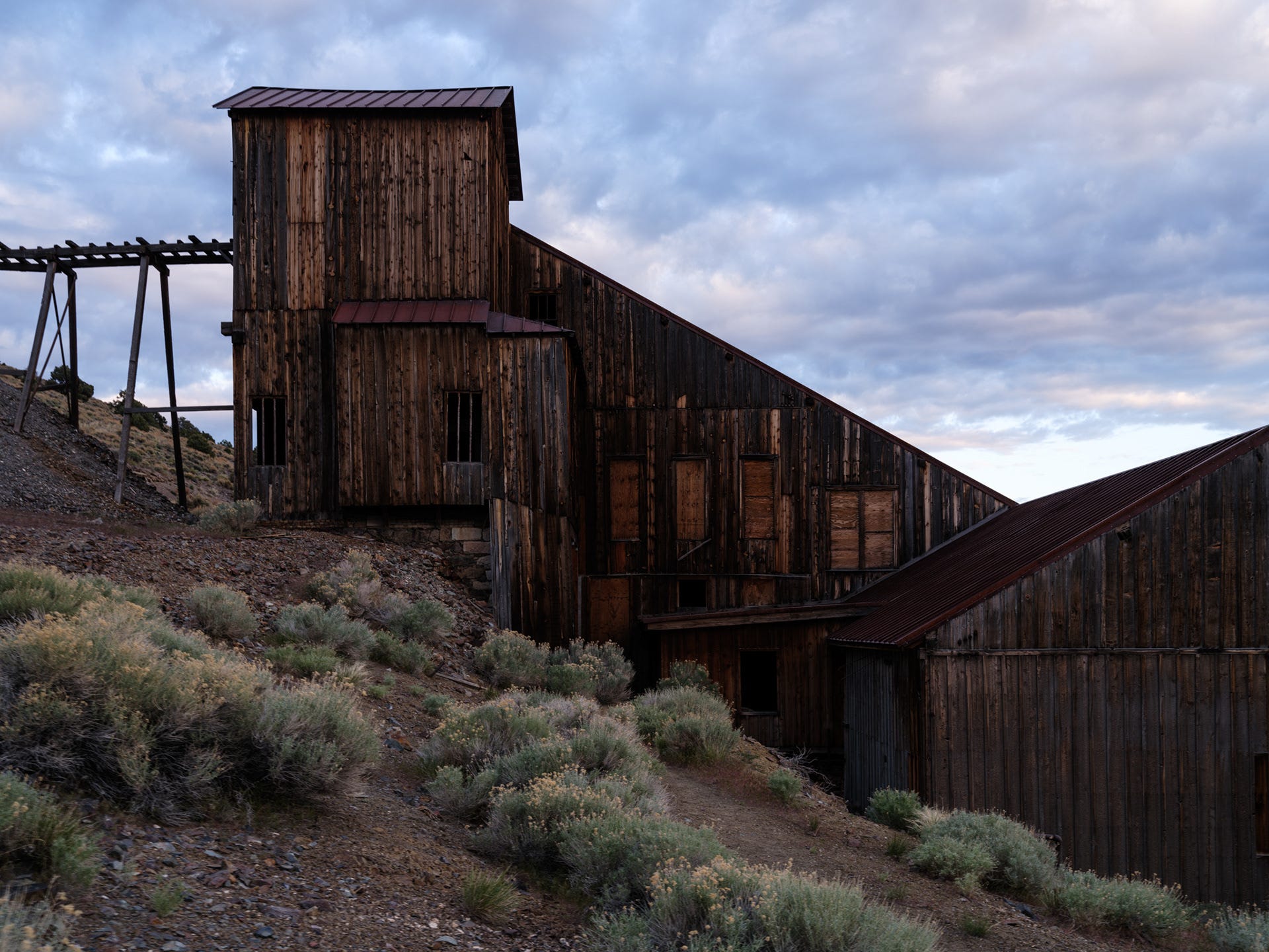


On the short drive back to camp, the retreating sunlight began glowing beneath the clouds, washing the landscape in soft color.
Not a bad way to wrap up the day.
Or the trip.
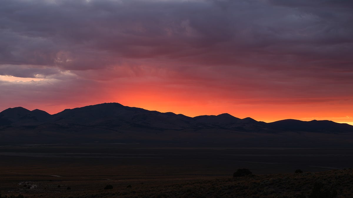
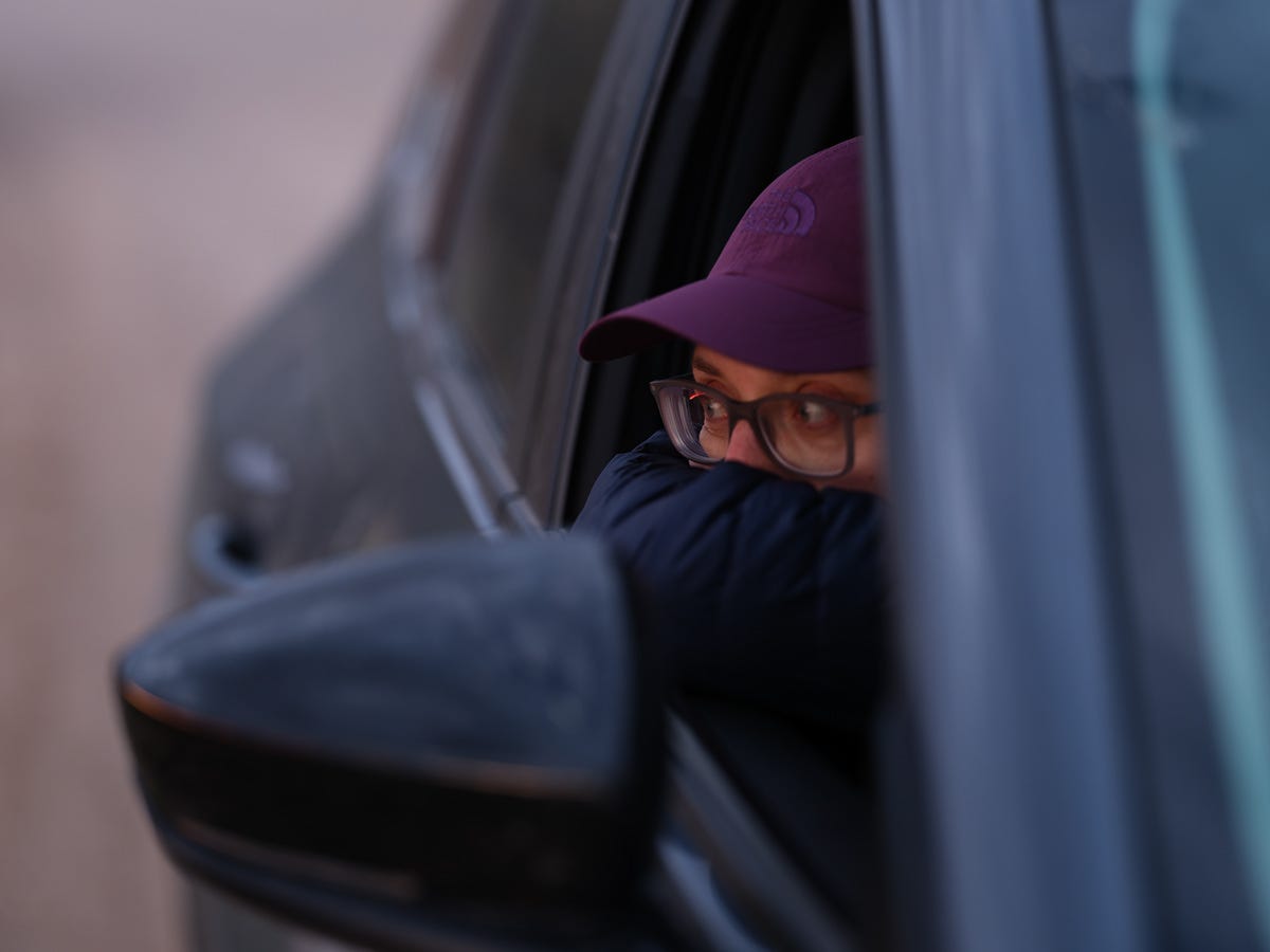
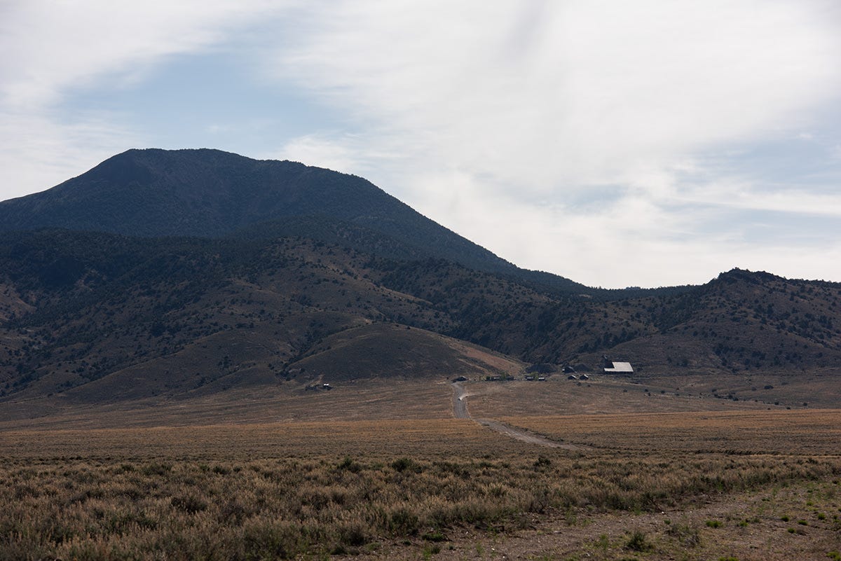
Before leaving the next morning, I stopped for one last photograph looking back toward Berlin as it sat quietly on its lonely hillside. Until next time.
Some places are memorable because of what there is to do.
Others stay with you simply because of how they make you feel.
Berlin is one of those places.
Thanks for coming along.
If you’ve made it this far, you have my warmest regards.
Randy
What an epic trip! I'd really like to get back to Death Valley as we spent a few days there, but still only scratched the surface. Cheers!